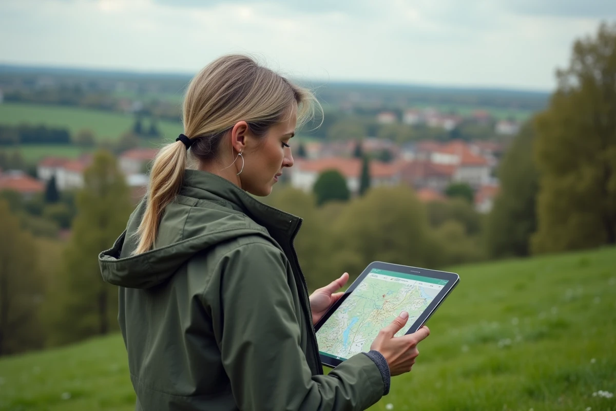
Since 2006, free access to thousands of official French mapping layers has been available online, without advertising or the collection of personal data for commercial purposes. Despite the diversity of its sources, every piece of data published on the portal must adhere to a strict interoperability and updating charter.
Some advanced tools remain reserved for local authorities and professionals, while many features are open to everyone, with no mandatory registration. Regular updates and the centralization of public data from multiple organizations make the portal a unique tool in the French digital ecosystem.
What is the Géoportail for? An essential tool for exploring French territory
The Geoportail service in France, initiated by the National Institute of Geographic and Forest Information (IGN) in 2006, quickly established itself as the reference for online mapping in the territory. Open to all, it offers citizens, institutions, and professionals an immense variety of IGN maps, aerial images, and thematic data. Its goal is clear: to enable everyone to display, overlay, export, and share public geographic information across the entire country.
This public service is not limited to viewing maps. Thanks to the diversity of mapping layers and thematic layers, from cadastral parcels to the hydrographic network, from administrative boundaries to land use, the Géoportail provides a detailed reading of the territory. Urban planners, geographers, local authorities, developers, and curious individuals alike find material to understand and analyze local and national dynamics.
The platform provides, through an intuitive web interface, a range of tools to measure, annotate, print, and share customized maps. The multilayer visualization is combined with compatibility with GIS software such as QGIS or ArcGIS, opening the door to advanced uses, from urban planning to forest management. Since 2024, the mobile application IGN Maps has extended this mission to smartphones and tablets, taking over from the old app. The information, constantly updated by official producers, offers reliability and rigor that serve the public interest.
How the service works: how Géoportail centralizes and provides geographic data
What distinguishes the Géoportail is its ability to gather, organize, and deliver an impressive volume of public geographic data. To orchestrate this centralization, the platform relies on the national Geoplatform, hosted by OVHcloud. Nearly 1 petabyte of information converges there, processing about 300 million requests each day. This architecture allows for the rapid, uniform, and reliable dissemination of maps, aerial photos, cadastral parcels, and thematic data from the IGN, ministries, local authorities, public organizations, or institutional partners.
The feeding of the portal relies on organized collection: each producer, DGFiP for parcels, ministries for sectoral data, ONF for forests, emergency services for risks, transmits their references, which enrich the national database. The mobile application IGN Maps connects directly to this platform, ensuring perfect interoperability between the website, the mobile application, and professional GIS tools, notably QGIS and ArcGIS.
Access to the service is via a web interface designed for all common browsers and through free mobile applications. Users can choose which layers to display, measure, annotate, export, or share their own selections. For more advanced uses, Géoportail APIs facilitate the integration of data into third-party tools or the creation of customized services. This organization encourages the free flow of geographic information in France, benefiting citizens, local authorities, and all professionals in the territory.

Frequently asked questions and practical uses: everything you can do with the Géoportail
Since 2006, the Géoportail, an online public service managed by the IGN, has risen to become a reference for mapping exploration of French territory. Its mobile version, IGN Maps, has offered a modernized experience since 2024, still free for common uses.
Visualize, compare, measure
Thanks to the service, every user has access to a wide range of topographic maps, aerial photos, and thematic data covering all of France. The features do not stop at simple consultation: it is possible to overlay layers, measure distances or areas, and annotate directly on the map. The “Time Travel” tool even offers the possibility to compare old maps and historical aerial images to track changes in the territory.
Urban planning and development
The Urban Planning Géoportail provides access to all regulatory urban planning documents and public utility easements, in compliance with the INSPIRE directive. One can locate a parcel, consult zoning, display easements, and download the datasets necessary for analysis. Urban development professionals and individuals find reliable and updated access here.
Here are some possible uses among the most common:
- Searching for points of interest and creating customized maps
- Calculating a route, obtaining an altitude profile, recording a GPS track (formats GPX, Json)
- Exploring the relief in 3D or viewing modeled buildings
- Observing the state of natural spaces, risks, or transport networks
Free access to the Géoportail, the wealth of available data, and compatibility with GIS tools make it a daily ally, whether one is a hiker, urban planner, teacher, or geomatician. Today, it is impossible to imagine exploring French territory without going through this one-stop shop of the digital landscape.